 We had arranged to rent bikes from a bicycle-promoting foundation in Quito before we left. But when we got there, there was a sign on the door that they had moved across town. Not cool.
 |
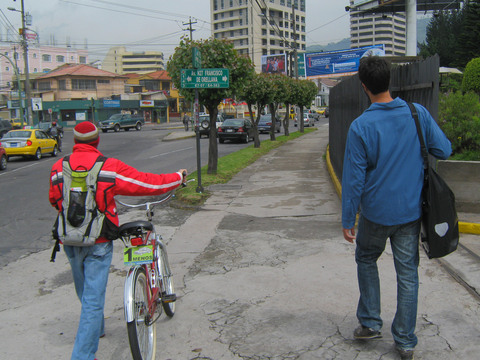 Also not cool was that after we went across town, they did not have bikes with racks, even though they said they did. Here, a dude from the bicycle foundation takes us to another shop he thinks might have bikes with racks.
 |
 While we were looking for the second bike shop, a trendy looking guy with a cycling cap on came up and started talking to us. Turned out his name was Frank and he had a bike shop with bikes with racks that he would rent to us.
 |
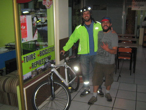 Frank turned out to be a cool dude. We rented bikes from him.
 |
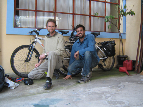 With the Bikes at our hotel in Quito.
 |
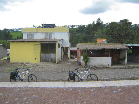
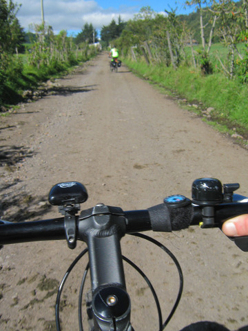
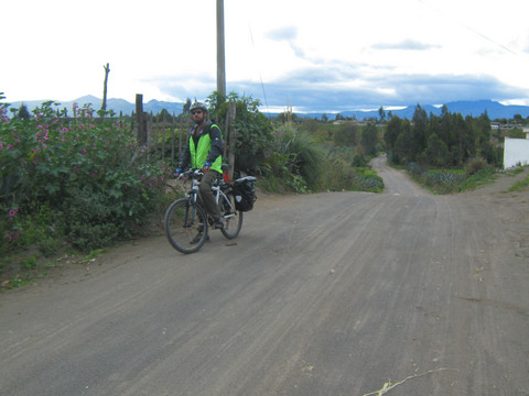
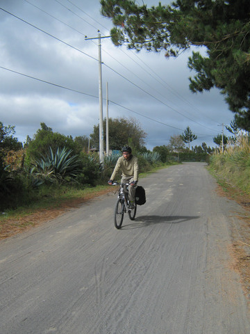
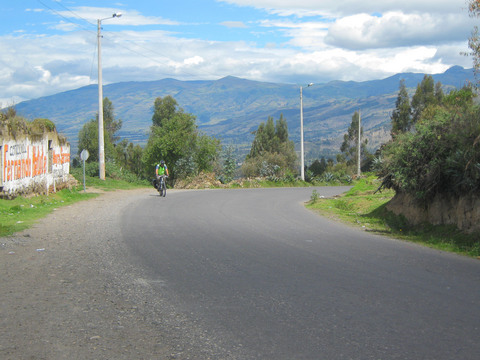
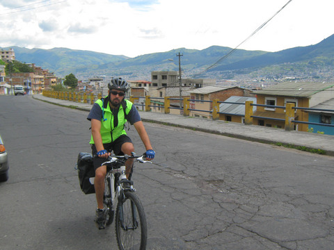 Biking out of Quito sounded insane from what we had heard about it. By following minor streets and starting after rush hour, we were able to get out without any excessively close encounters.
 |
 Hillside on the way outta Quito.
 |
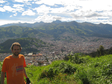
 And behind door no 2, it is . . . Quito!
 |
|
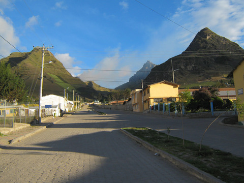
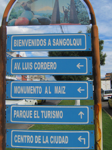 End of the first day: Sangolqui, about 20 miles south of Quito. Not in the guidebook, but a nice town.
 |
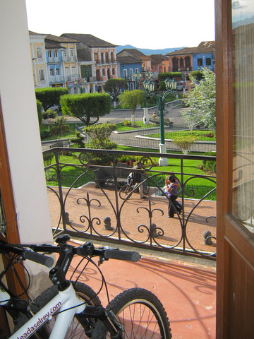 Unlike other more refined locations, hotels in Eucador will often allow you to bring your bicycles into the room with you. Here, our bikes look over the town square in Sangolqui, Ecuador.
 |
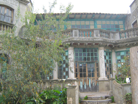
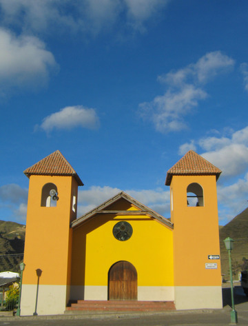
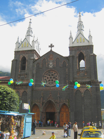
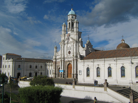 The church of Sangolqui. Ecuador has excellent architecture, particularly in Quito and Cuenca, which are both UNESCO World Heritage Sites.
 |
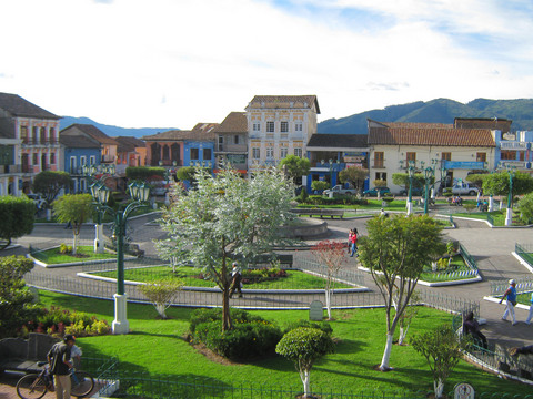 Sangolqui town square.
 |
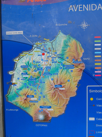 Back on the road: map of the Cotopaxi region.
 |
 Organic farm/Christian retreat center in the middle of nowhere. We used their front doorstep for a shady resting place for a bit, but did not stop in.
 |
 The second day was very long and difficult, in part because there was nowhere to eat a proper lunch (although there were many signs for places that turned out to be closed). Finally we found a tienda where we were at least able to buy a couple of cans of tunafish and some sandwich rolls.
 |
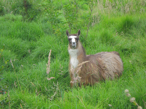 A llama grazing along the roadside outside of Quito.
 |
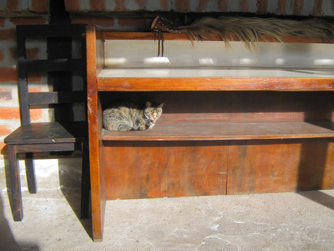 Cat at the odd farmhouse/guesthouse where we stayed for the second night, near Rumipamba.
 |
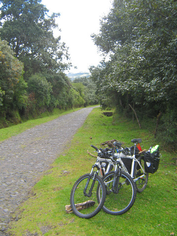
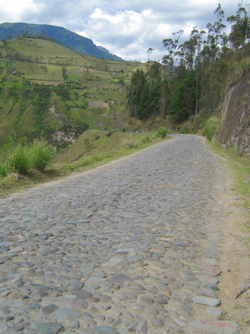
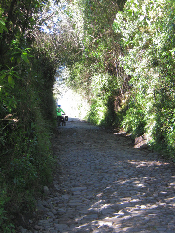 Cobblestone roads. Miles and miles of them. I cannot believe the amount of labor that must have gone into it. Do not try this without at least a front suspension.
 |
|
 The view for most of the day.
 |
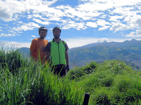
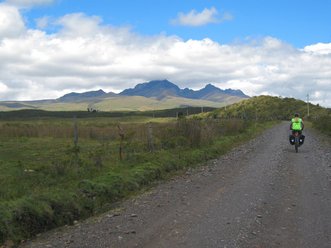
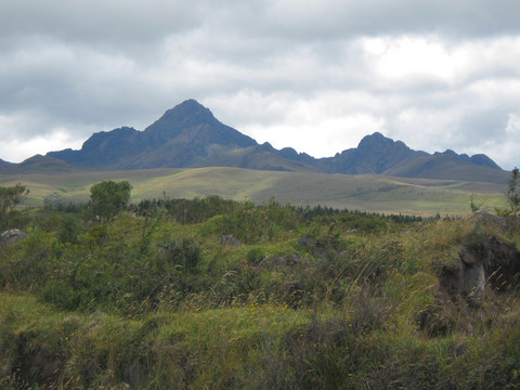
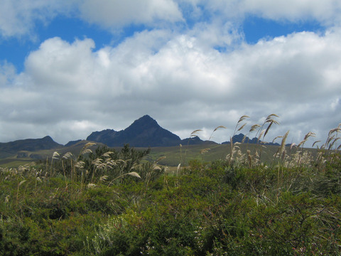
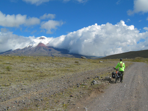
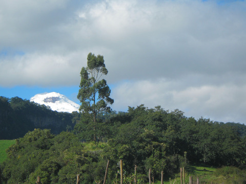 First glimpse of Cotopaxi volcano, where we were heading.
 |
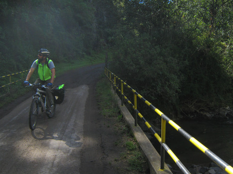 The roads varied in altitude and wetness. Here we are at the bottom of a ravine near a river, where it was misty and damp.
 |
 More cobblestones.
 |
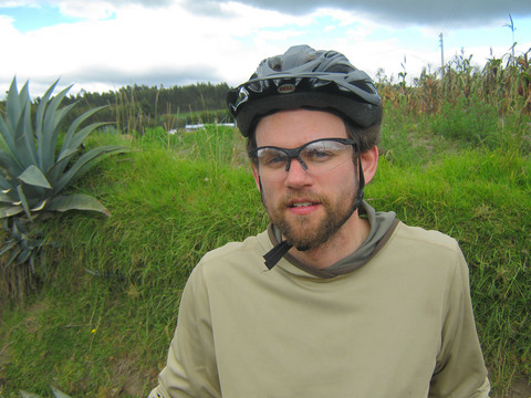
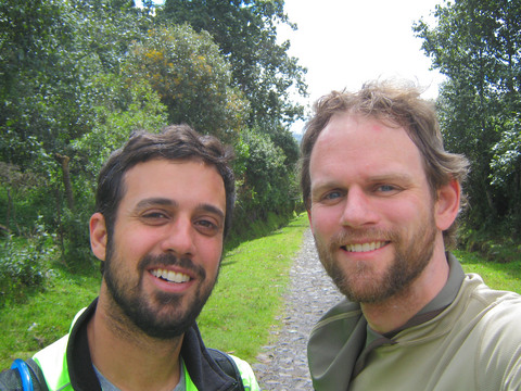 Having a beard makes you a better bicyclist.
 |
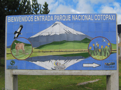
 Heading in to Cotopaxi national park.
 |
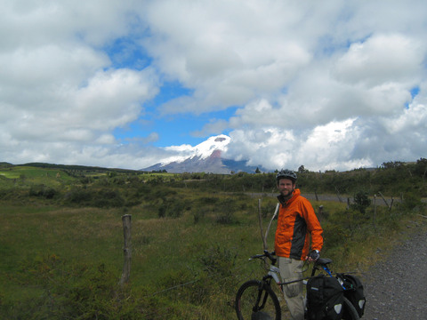
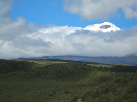 Cotopaxi peeking above the clouds.
 |
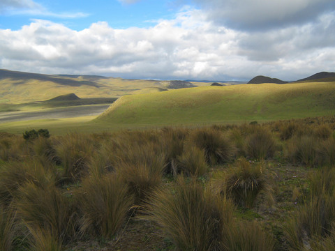
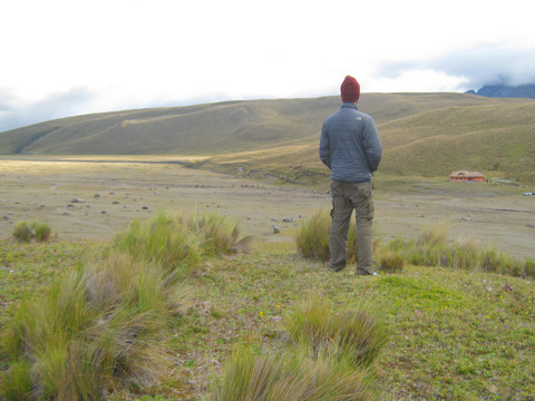
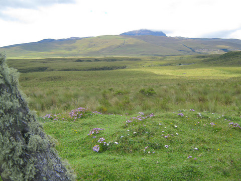 High alpine steppe.
 |
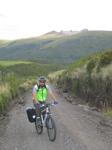 Biking uphill at 11,500 feet is, generally speaking, not easy.
 |
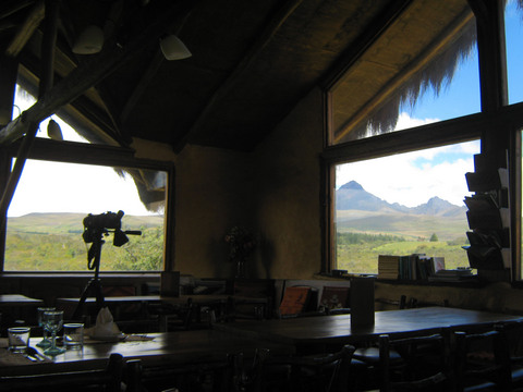 Chilcabamba, a mountain resort. Stopped here for lunch.
 |
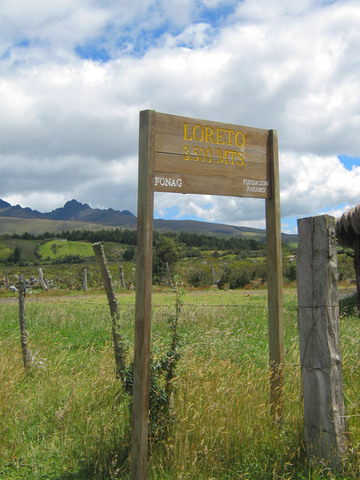 3500 mts = 11,483 feet above sea level.
 |
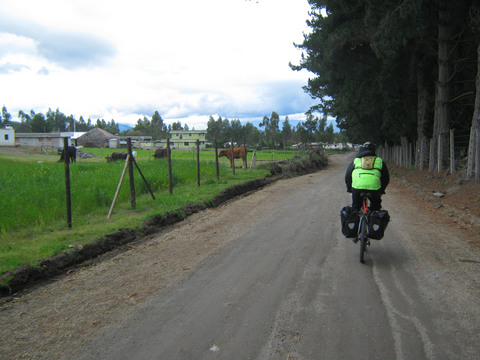
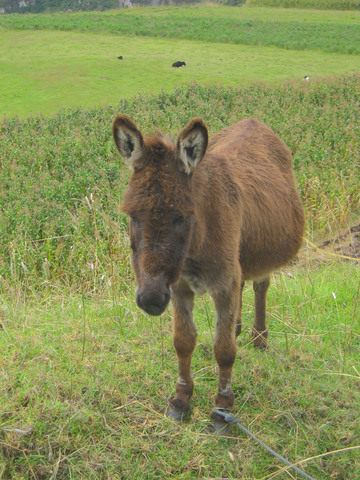
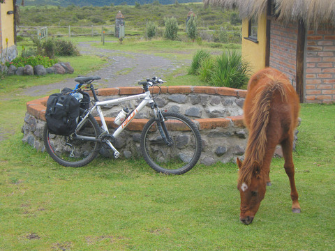 Working animals are part of the scenery in Ecuador, such as this horse grazing next to one of our bikes.
 |
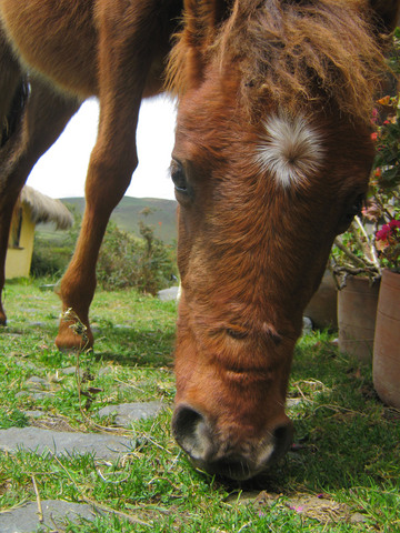 The horse of the Chilcabamba courtyard.
 |
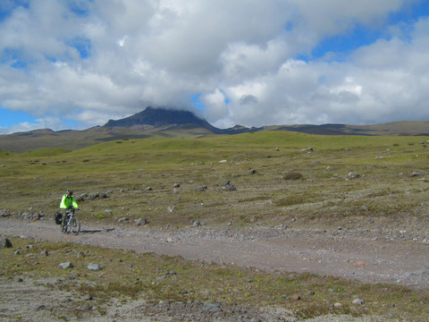
 The ridgeline approaching Cotopaxi NP.
 |
|
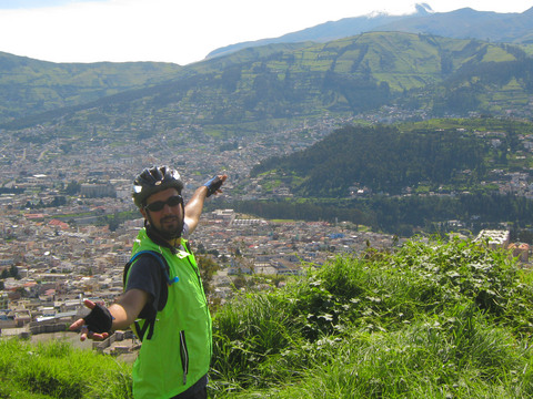
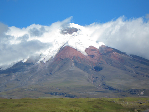
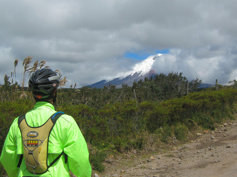 Looking at Mt. Cotopaxi, a volcano that last erupted in 1942.
 |
|
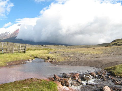
 Finally. (It was a long day getting here). The park ranger at the entrance told us that Tambopaxi, our destination, was basically "just around the corner". It was another 2kms -- not a long distance, but at the end of the day at 3500 meters, it felt like a long distance.
 |
|
 Riding through the desolate high alpine landscape of Cotopaxi National Park.
 |
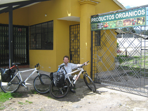
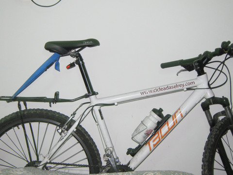
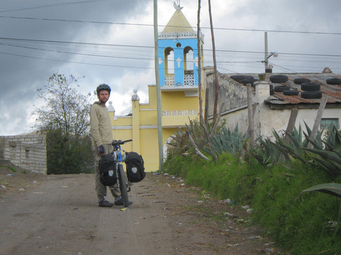
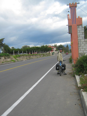
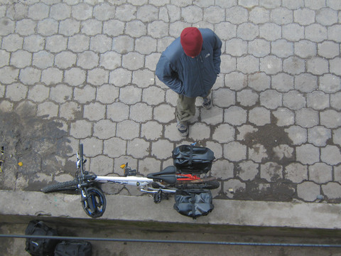
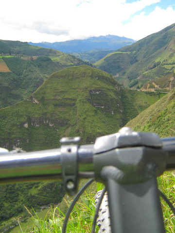
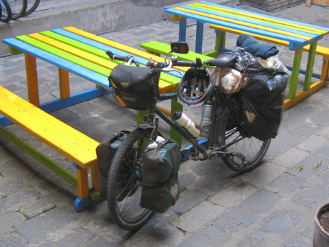
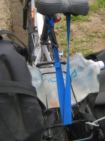 It was fairly easy to find decent mountain bikes in Quito, but bike racks were another matter. After almost two days of searching, we had to settle for subpar racks with only one support stay. To allow them to carry our touring load, we rigged a supporting strap to transfer some weight to the seat.
 |
 A clearer picture of the strap-rack jury-rigging.
 |
 Seth taking a break right before we got to Tambopaxi.
 |
 In addition to wind and rain, altitude is a major challenge in Ecuador. Here, Seth walks the last two kilometers to our lodge.
 |
 The entrance to Tambopaxi.
 |
 High alpine plain around Cotopaxi volcano and Tambopaxi Lodge in Cotopaxi National Park.
 |
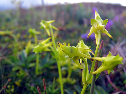
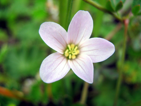
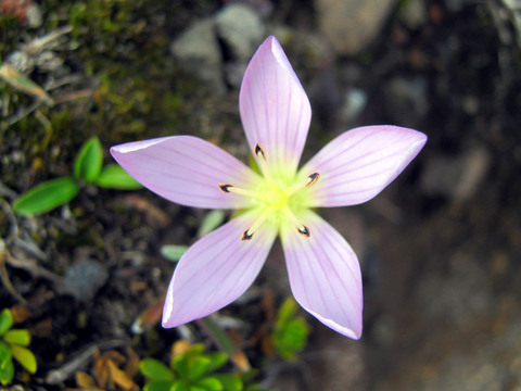
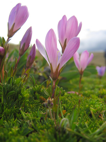 High alpine flowers. All small, all beautiful.
 |
|
 Hiking in the hills around Tambopaxi. So beautiful. Also was nice to be out of the saddle after a long day of pedaling.
 |
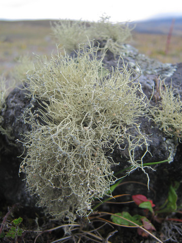 Mountain moss.
 |
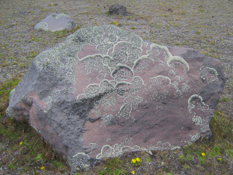 Fungae and algae, hanging out on a rock together.
 |
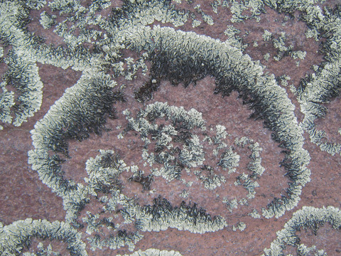 Lichens, close up.
 |
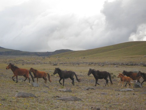 Wild horses running in Cotopaxi National Park.
 |
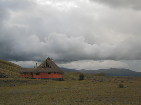
 One of the Tambopaxi buildings.
 |
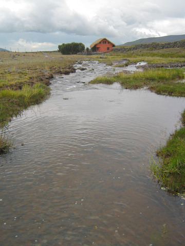 Tambopaxi creek and outbuilding where our bikes were stored while we stayed here.
 |
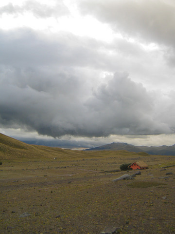
 One of the buildings in Hosteria Tambopaxi, the only lodge in Cotopaxi national park.
 |
|
|
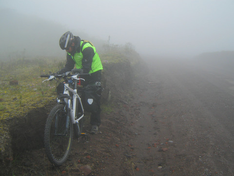 Cotopaxi National Park could go from sunny to foggy in a matter of hours. Here, on a stop to put on raingear during our decent out of the park.
 |
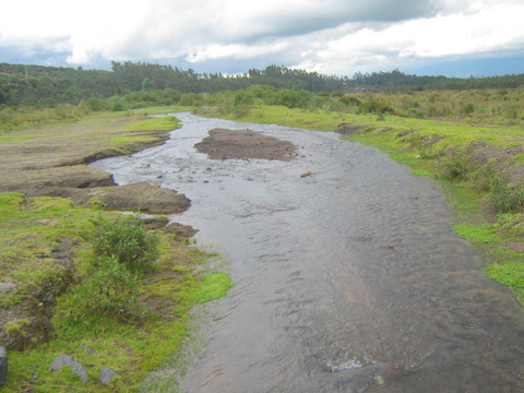 Stream that we ended up fording while wandering around because there was a larger stream Seth did not want to ford.
 |
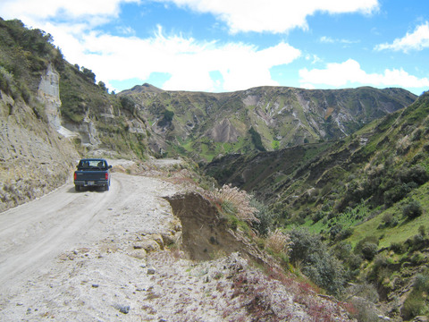
 Heading out of Cotopaxi National Park and towards the Quilotoa Loop to the south.
 |
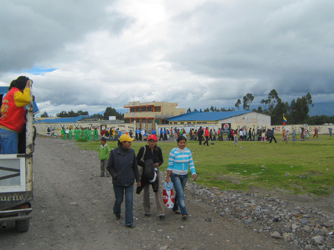 Country fair.
 |
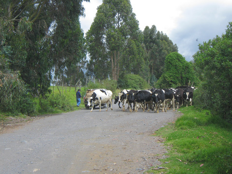 Bovine roadblock.
 |
 Moo.
Moo. |
|
 Seth on a road to Latacunga.
 |
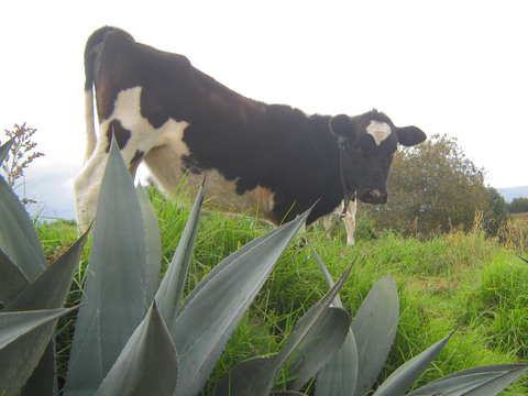
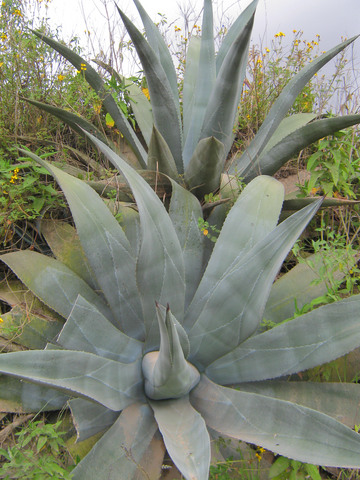 This is where your tequila comes from.
 |
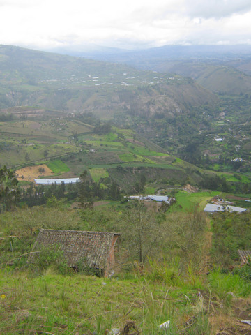
 In central Ecuador, hills and mountains are the norm.
 |
|
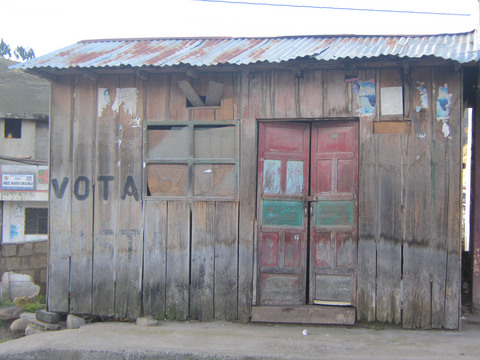
 This would have been a really depressing town to grow up in.
 |
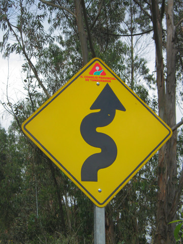
 Signs are rare to nonexistent, and it was often difficult to interpret what road we were riding on from our map. So we got used to asking for directions frequently -- to confirm we were riding in the correct direction if nothing else.
 |
 Walking to deter a dog from chasing me. Dogs are magnetized by a person riding a bike -- I think they get confused and think we are an antelope or something. They usually lose interest if you dismount.
 |
|
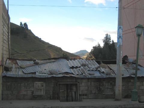
 Crazy old house on the side of the road. Still heading for Latacunga.
 |
 Ahhh, pavement. So much faster than cobblestones.
 |
 In Pujilí, heading west into the Quilotoa loop.
 |
 Biking uphill towards the Quilotoa loop.
 |
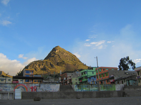
 House in Zumbahua.
 |
 Another house (?) in Zumbahua.
 |
 Sunny Day Real Estate is big in Zumbahua apparently.
 |
 Church in Zumbahua.
 |
 Hills surrounding Zumbahua.
 |
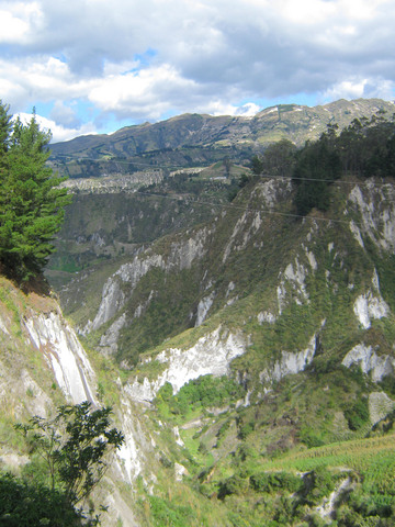
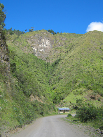
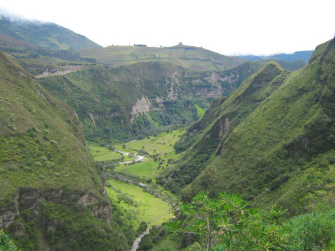
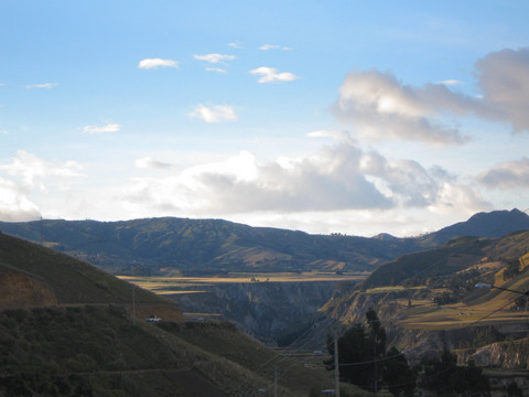 Gorge near Zumbahua.
 |
|
 Looking down from the terrance of our hotel in Zumbahua.
 |
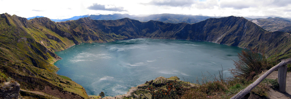 The view of Lake Quilotoa, a crater lake, provides a welcome reward for a day of climbing.
 |
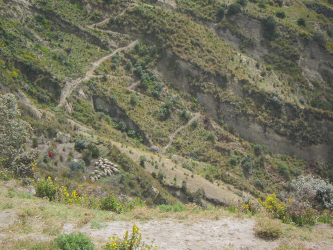 Shepherd (tiny red dot) on the slopes leading down to lake Quilotoa.
 |
 Canyon leading from the edge of the Lake Quilotoa crater.
 |
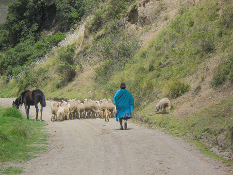 More shepherding.
 |
 Valleys near Chugchilan.
 |
 The Ecuadorian countryside is seriously like walking through a children's book on farm animals. All over the place.
 |
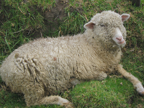 Baaaaaaa.
 |
 The road where I dropped my patagonia down sweater (*sob*) with my blackberry in the pocket (*shrug* -- my new Android is much better).
 |
 The view over a gorge near Lake Quilotoa. Note that despite the extremely steep slope, much of the land is still cultivated.
 |
 More cobblestones. How old is this road? Did this whole countryside get entirely paved with rocks before the advent of concrete? Is this a way to reduce unemployment? The world may never know.
 |
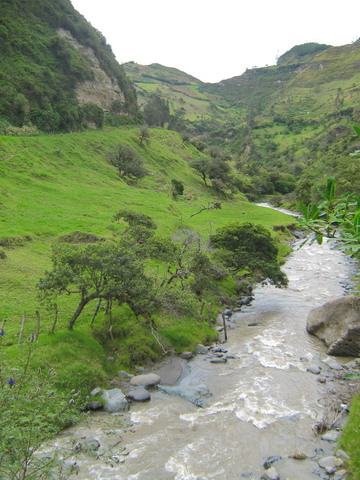 A mountain stream near Chugchilan, Ecuador.
 |
 Valley near Sigchos. This is all still on the Quilotoa loop, on the northwest side. Seth has returned to the US at this point, so it's just me biking. I'm now heading east, down into the Amazon basin.
 |
 Back in Latacunga. This is the bike of Julian Bloomer, who I ran into in the hostal [sic -- Spanish spelling] in Latacunga. After getting a Ph.D. in Geography, Julian left Ireland in 2008 to bike around for a while. He is still going, 35,000 km later, and is headed north through Central America, Mexico, and California next . . . perhaps we'll see him in the Bay Area eventually. Julian's blog is at http://theslowwayhome.blogspot.com.
Julian's bike has me jonesin' for a dedicated touring bike.
Back in Latacunga. This is the bike of Julian Bloomer, who I ran into in the hostal [sic -- Spanish spelling] in Latacunga. After getting a Ph.D. in Geography, Julian left Ireland in 2008 to bike around for a while. He is still going, 35,000 km later, and is headed north through Central America, Mexico, and California next . . . perhaps we'll see him in the Bay Area eventually. Julian's blog is at http://theslowwayhome.blogspot.com.
Julian's bike has me jonesin' for a dedicated touring bike.
|
 The road from Latacunga to Baños. Mostly (but not all!) downhill, mostly squiggly. All newly-paved, which was nice. Not too much traffic, either.
 |
|
|
 La Iglesia de la Virgen de Agua Santa, in Banos. I rested in Banos for a day. It was very touristy (Anna Rowley described it as "the Daytona Beach of Ecuador") but a good place to trade a read book (a Llosa novel) for an unread book (PKD's The Man In The High Castle), eat well, and rest my legs.
 |
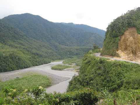
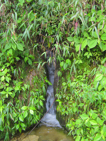 The road from Banos to Puyo, which is almost entirely downhill. The guidebook (correctly) describes it as a fun, easy bike ride and there are about a dozen places renting bikes in Banos. Despite this, I didn't see any other bicyclists. What I did see was a lot of waterfalls, about one every mile or two.
 |
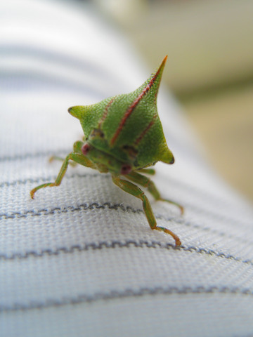 Any entomologists in the crowd who can identify this?
 |
 Heading east to the jungle . . .
 |
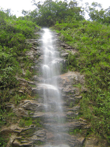 Another mile, another waterfall.
 |
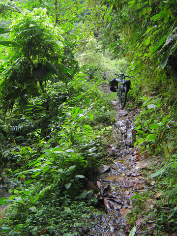
 Took a short detour down a jungly side road. I was halfway expecting some Na'vi to jump out of the ferns.
 |
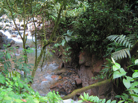
 The descent from Banos to Puyo is a very easy and stunning bike ride from mountain peaks through cloud forest to deep rain forest. Here, a side trail to some waterfalls becomes impassible.
 |
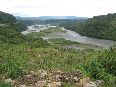 Rio Pastaza.
 |
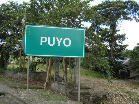 Entering Puyo.
 |
|
 Hmmm . . . take the bus back home?
 |
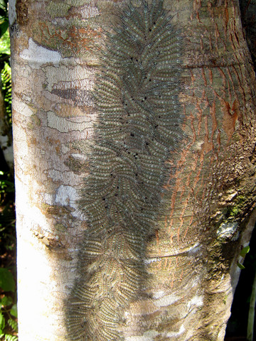 Now in Tena -- I went white water river rafting on the Napo River and my camera unfortunately stayed inside of the drybag post of the time. The guide thought these were (venomous) centipedes. After I got back home, I emailed an "Ask An Entomologist" blog, and it turns out they are actually (non-venomous) caterpillars, which frequently huddle together for warmth and common defense.
 |
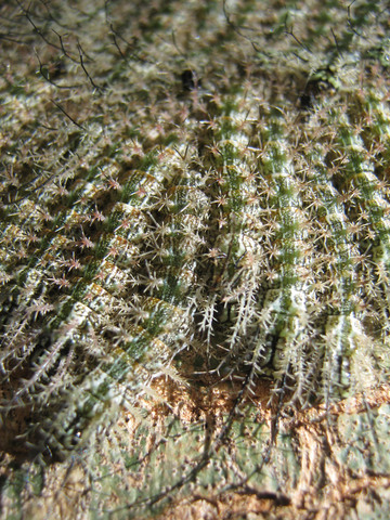 Caterpillars.
 |
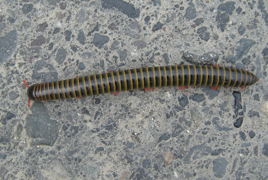 Millipede.
 |
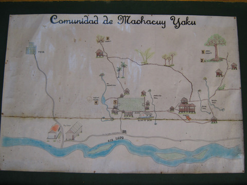 Visiting an indigenous village near Tena.
 |
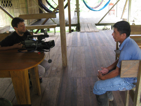 There was a videographer there shooting a public television segment on tourism in indigenous villages. I happened to be the only tourist that day, so he shot a fair amount of footage of me. If the incoherence of my Spanish didn't put it on the cutting room floor, I may airing regularly on Ecuadorian public television.
 |
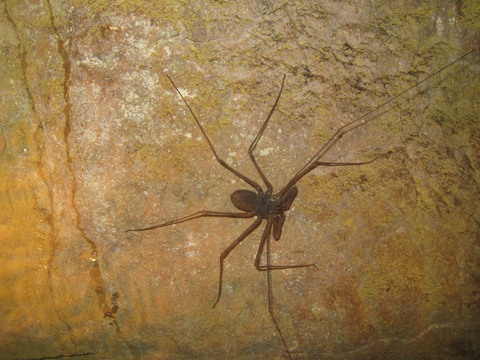 We visited a cave near the village. Here, an amblypygid -- "whip spider" or "whip scorpion," so named after the long whiplike second set of legs. They're arachnids, but neither truly spiders or scorpions.
 |
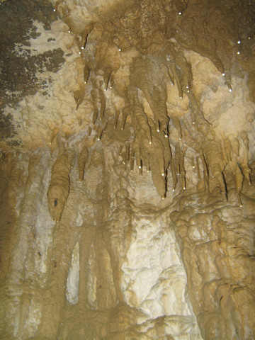 Stalagtites (those are the ones that hang from the ceiling).
 |
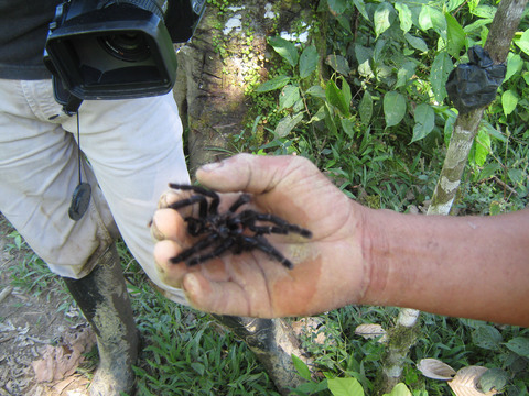 Wildlife is everywhere in Ecuador, including this tarantula shell that was molted by the spider as part of its growth process. A guide holds the spider, which is being filmed for a documentary on Ecuador's public TV channel.
 |
