We found that biking in Germany is different from biking in France. The French have a huge network of rural roads, open to cars but in most cases little used. There are signs for various villages, but none of them are specific to bicycles. We navigated by using Michelin maps (mostly 1:250,000 regional maps) and picking white roads – little used secondary roads – and following green “scenic” routes wherever possible. That worked out pretty well.
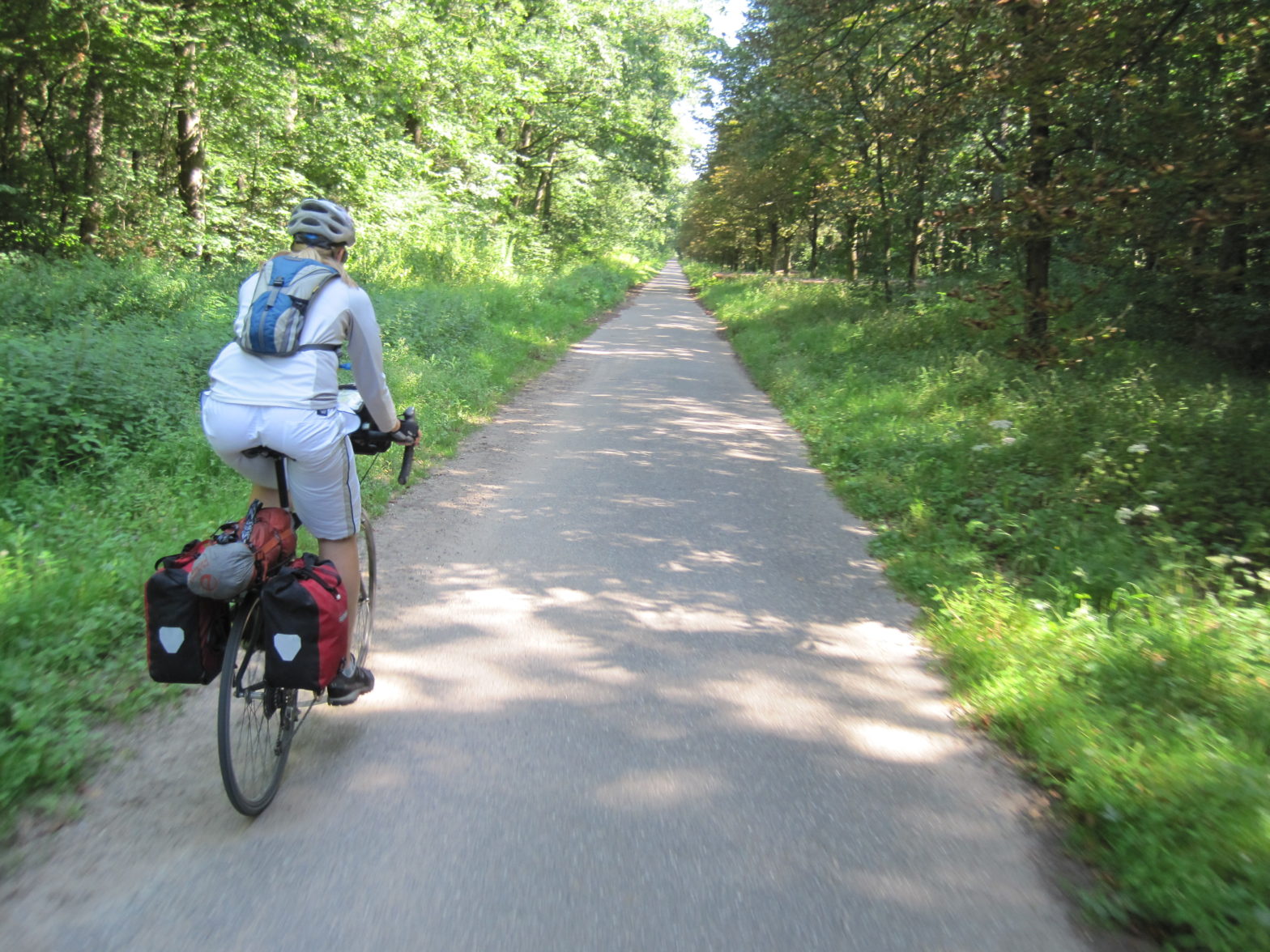
In Germany, we initially didn’t carry maps at all, since there are lots of bike-specific signs, usually pointing to routes along bike paths. These were usually either a paved strip separated from a main roadway by a meter or two, or a dirt or gravel path through the woods. While it was nice to often be separated from traffic or in the woods, neither option was as flat and as smooth as a road paved for cars; the paved ones were usually thin pavement with large bumps in it from tree roots, and with significant curbs in towns. For Germans, these bumps aren’t that big of a deal, since most German bikes had fat tires, front shocks, and seat-post shocks. For lighter weight road-riding bikes like ours, it was more of a challenge; in addition to the rougher ride, we got a lot of pinch flats from hitting tree roots or curbs. Eventually we started carrying bike maps, usually the ADFC (German National Bike Touring Club) endorsed maps by BVA. While these show the different bike routes clearly, they still have the drawback that they don’t indicate the difference between paved and unpaved routes.
If we were going on a tour largely in Germany again, we would probably pick fatter tires for our rear wheels, to reduce the incidence of pinch-flats on the rougher German bike paths. We were running 700×28 tires.